Saturday, August 24, 2013

Exploring the East Kootenays - Top of the World

 One place we had never visited was Top of the World Provincial Park, a small wilderness park in the southern Rockies just south-east of Canal Flats.

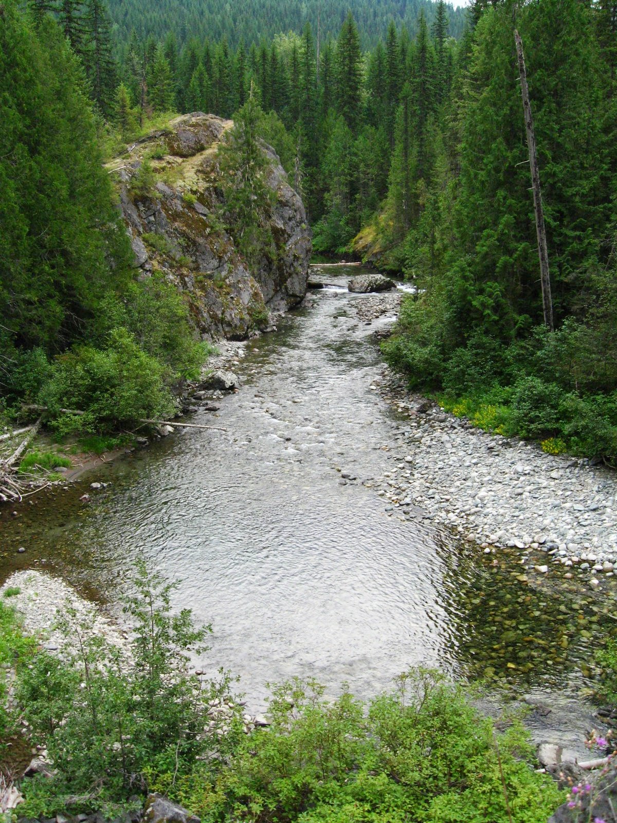
Because the weather had been so hot, we decided to arrive at the trailhead late in the afternoon and hike to the campground in the early evening.  This worked out OK and the drive across to the East Kootenays was fine (the Grey Creek Road could have been a bit less rocky...) and the FSR up to Whiteswan and Top of the World was in good condition with good views along the way.

The campground along little Fish Lake was quite nice and only a few other small groups were there, making for a quiet time.  Unfortunately, on Tuesday morning, I woke up with a severe case of vertigo and could barely sit up in the tent.  I spent the morning lying down until I started to feel better.  Not sure what brought that on.  We hiked up to Sparkle Lake (nice views) and the next day hiked over to Coyote Creek campground and up to the summit of Sugarloaf Mountain where we had a panoramic view of the entire area.

The next morning we hiked out and headed back home.

I have to say that the park was not at all what I expected.  Given that most of the area is over 2000 meters in elevation, I was expecting sub-alpine terrain.  It was not.  Totally a forested area with some views.  I think we found 2 small alpine meadows while we were there.  Trail maintenance seems to be an issue as the one we hiked to Coyote Creek had about 60+ deadfalls blocking the trail.  Doesn't Parks have any trail crew to patrol these things?

Pictures at: https://plus.google.com/photos/106717482826961530532/albums/5917191526538864737

Friday, August 16, 2013

Macbeth - Trail Maintenance & Glacier Hike

 There are many trails in the backcountry around here that are popular but don't get regular maintenance, unless local volunteers take on the task.  The rigorous trail to the Macbeth Glacier is one such trail and every couple of years, a few of us hike in, chainsaw up the fallen logs blocking the path, fix up the bridges, cut back the alder....

Tuesday had four of us cleaning the trail for the first few kilometers and fixing places where the trail was a bit tenuous.  The next day we packed up with camping gear and mountaineering equipment and hiked in to the glacier where we set up camp.  A few others joined us later in the day.

Thursday's objective was to get up on the glacier and do some exploring, possibly to see if we could find a way on the main icefield.  Because of recent melting, getting onto the glacier at all was a bit more problematic than a few years ago, but once on the ice, we headed across and up, zigging back and forth to avoid the crevasses.  After some searching, there did appear to be a route up through the icefall, threading the needed between large crevasses and sketchy ice/snow bridges.  Finally, we arrived at a spot where there were great, gaping crevasses on all sides and no clear way across that appeared safe.  So we turned back.

Always nice to get out on a glacier.  One needs to experience them now because they are melting fast.

Pictures of the trip are here: https://plus.google.com/photos/106717482826961530532/albums/5913288046552750433


Sunday, August 11, 2013

Salmo to Nelson - The Great Northern Trail


Three of us spent yesterday riding the Great Northern Trail, an old rail grade between Salmo and Nelson.  There are a number of these routes in the Kootenays and we've done several.  This route mostly follows the Salmo River or the highway for its approximately 48 km distance between the two towns.

The trail rises very gradually from Salmo and is in pretty good shape, for the most part, although ATVs and dirt bikes have made a bit of a mess.  There are many views of the Salmo River but not much else as you're in the woods most of the time.

Once the height of land is reached near the turnoff to the Whitewater Ski area, the trail starts to descend and it was almost not necessary to pedal.  Approaching Nelson, there were views from our position high on the hill down over town.  The trail continued to km 0 where it stopped at the existing and active rail line between Castlegar and Creston.  Ending unceremoniously as it did, with no way out along the rail line, we had to bike back uphill the 5 km to the nearest access point before zooming down through the streets of Nelson (Fairview) to our vehicle.

It was a nice bike trip - not as scenic or exciting as the Paulson to Castlegar trail, but pleasant and interesting.

Thursday, August 08, 2013

Willett - August 7

Had another go at Mt Willett yesterday.  I'd been up there a couple of times before, but Catherine hadn't and when another couple indicated their interest in the peak, we decided to give it a try.

To give us more time, given the long approach and lengthy hike, we drove to the trailhead the night before and camped.  Just after dark, we were treated to a raging lightening storm with wind-whipped rain, making it almost too noisy to sleep.  We were up early, however, and clear skies promised a nice hike.

The summit was reached just at noon, after following the route through alpine meadows and over a ridge, appreciating a new trail section recently constructed by the Community Forest trail crew.  Views were great in all directions and we had some fun identifying peaks in the area (Loki, Cooper, Brennan, etc) before starting the descent.  A 10-hour day with the elevation gain and loss made for some tired bodies.

Thursday, August 01, 2013

Saskatchewan Section Mountaineering Camp - July 20-27

The annual Sask Section ACC mountaineering camp visited a new area this year: the Adamants in the North Selkirks, northwest of Golden.  The Alpine Club has a hut in this area (look closely in the trees at the lower left), the Bill Putnam Hut at Fairy Meadows, situated at around 2000 m, with easy access to the Granite Glacier (shown in the photo) and the Gothics Glacier.   It's quite a spectacular place.

Although the hut isn't all that far from the West Columbia FSR, the terrain is rugged and the trail (which does exist) is much overgrown with slide alder and devil's club, so the most sensible access option is helicopter.  With 4 flights of about 5 minutes each, we were able to ferry 19 people and their mound of gear to the hut in under an hour.

The week was spent exploring the area, providing instruction on glacier travel, knots, crevasse rescue techniques and other topics related to travel in the mountains.

It was a great week although the sun and heat made it pretty warm on the glacier.

Pictures can be seen at: https://plus.google.com/photos/106717482826961530532/albums/5905871919361023969?authkey=CMCf88WG65qU0wE